25. Jul 2026
Briton Ferry - Southerndown
Route Info:
 33.73 km
 329 hm
 ca. 7h 1m
View track detail
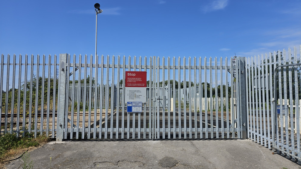
Photo 1: "Road block"
From Briton Ferry I had mapped out a route that would take me along the coast. Then I came to this railroad crossing. There was once a pedestrian crossing there, but everything was fenced off and locked. There was no way to get across. I had to turn back, walk a couple hours on a busy road and more inland. This way was a bit shorter which helped compensate for the backtracking, but not very enjoyable.
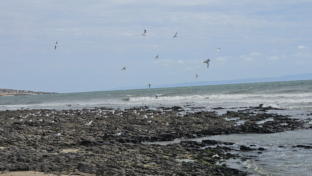
Photo 2: After four days, I finally made it back to the coast. I would walk about one hour directly along the beach.
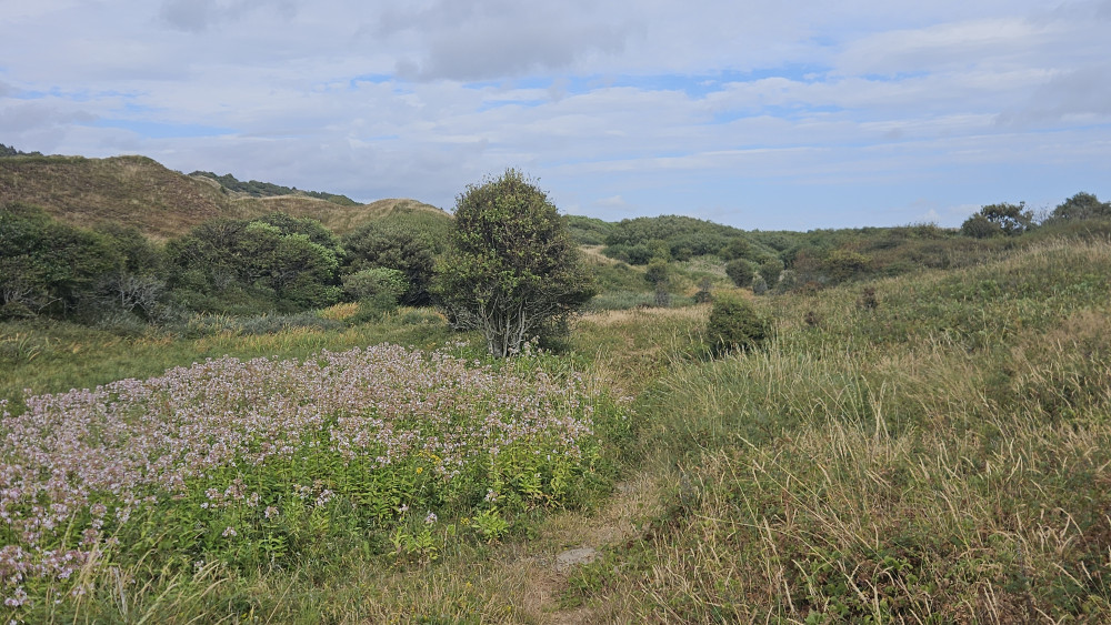
Photo 3: Then my path took me through a sand dune natural preserve. Not always was it clear which way the path went. Without the green line in hiking app, I would not have had a chance.
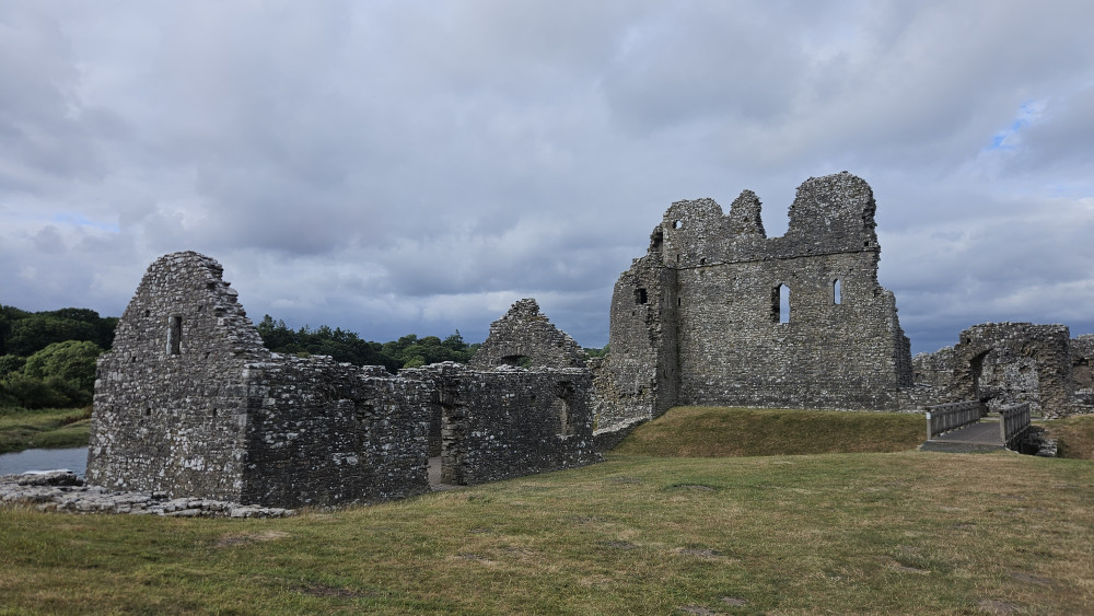
Photo 4: Ogmore Castle was built over 900 years ago in the 12th century. It was the home of a knight called William de Londres, one of many Nomand lords who came over from France to conquer England and Wales. The castle protected William, his family, servants and sondieren from the local Welsh population who were not very happy about being invaded and kept revolting!
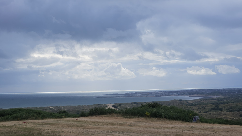
Photo 5: One last hill to climb this week up to Southerndown where I would spend the weekend at a campground called "Three Golden Cups"... as in trophies, probably referring to the pub-restaurant-camping combo here. The name is also fitting to my walk today... I crossed three milestones: 40 days on the Snail-Trail, 1000 kilometers and 3x Mt. Everest altimeters! No wonder I am tired! I look forward to the day of rest tomorrow...